
ArcGIS Data Interoperability: Tips for LiDAR, 3D, and BIM
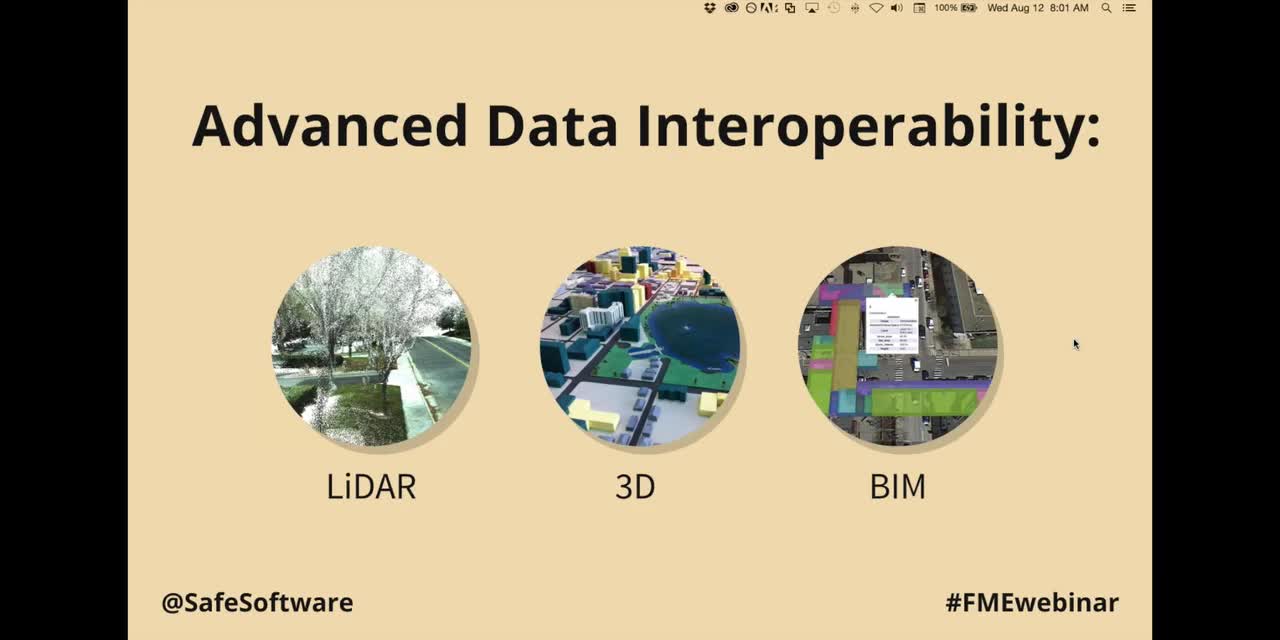
Table of Contents
Level
Broadcast
Wednesday, August 12, 2015
Presenters
Dale Lutz
Tiana Warner
Webinar Details
Discover how to master 3D data and ArcGIS using the Data Interoperability extension. We'll delve into transforming LiDAR point clouds, and creating 3D buildings from 2D geometries. We'll also show you how to convert BIM data formats in ArcGIS for optimal visualization and analysis.